
NASA reports drone test of autonomous landing guidance
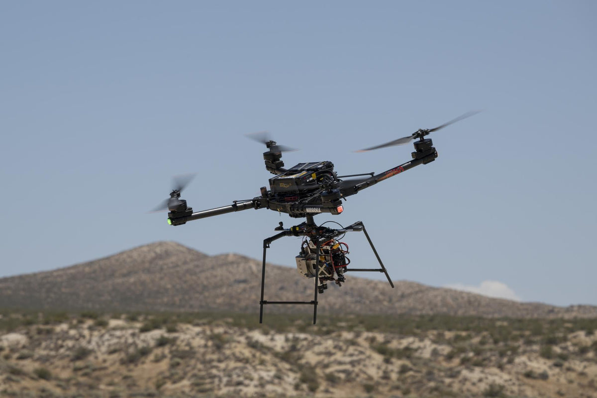
A November 4 report describes an August trial of SPLICE, which maps terrain and guides a vehicle toward safer ground. Lunar flight readiness remains a separate challenge.
NASA reported on November 4 that an Alta-X drone carrying its SPLICE landing-guidance experiment completed simulated lunar descent and landing maneuvers on August 27 at Rogers Dry Lake in California. The useful step is connecting terrain measurements to decisions about where a vehicle should go.
What the drone trial tested

The flight report describes a payload that builds elevation maps, evaluates possible touchdown areas and can redirect a vehicle when the selected patch is unsafe. June and July flights first checked communications, data handling and commands between the payload and aircraft.
Those links matter: a navigation estimate is useful only if the guidance system can turn it into a command the vehicle receives and follows. An aircraft provides a way to exercise that chain during real motion before integrating it with a planetary lander.
Watch the actual preparatory footage

NASA's roughly two-minute source video shows the test equipment, preparation and drone operations. The agency identifies it as June and July 2026 integration and hover testing, with a catalog date of July 15. It is background footage of the development work, rather than video of the August 27 trial.
The footage places the airborne payload in context: ground equipment, a field-support trailer and crew surround the test area. The later flight sequence shows the drone operating above the dry lake. Short operational calls are captioned, including the countdown, landing and disarm.
Measuring motion is different from mapping hazards

SPLICE means Safe and Precise Landing – Integrated Capabilities Evolution. Its system overview separates several jobs that can easily be confused. Navigation Doppler lidar sends laser light toward the ground and uses the returns to estimate the vehicle's altitude and velocity. A 2019 instrument explanation describes an electronics box linked by fibre-optic cables to three transmitting telescopes.
That tells a lander about its movement relative to the surface. It does not, by itself, provide a detailed safety assessment of every rock and slope underneath. A separate hazard-detection lidar creates a three-dimensional terrain map, supplying the shape information needed for that assessment.
Another technique, terrain-relative navigation, compares live camera images with preloaded orbital maps to establish location. Finding a familiar surface feature answers “where am I?”; checking the local terrain answers “is this patch suitable for touchdown?” Both questions matter.
Turning a terrain map into a safer route

Hazard software processes the elevation map to identify areas to avoid and candidate landing patches. Guidance then calculates a trajectory toward a selected destination. The computer must combine the terrain assessment with the vehicle's current motion; picking a clear spot and steering toward it are separate tasks.
The illustration shows that decision in a simplified map. The dashed line leads toward a hazard, while the solid route diverts toward a different patch. It explains the logic, not the measured path of the drone. The broader SPLICE suite combines these sensing, navigation and guidance functions; the new report does not specify every sensor used in the August configuration.
What this result leaves open
An Earth drone test is a development step, not a demonstration of a landing on the Moon or Mars. The report supplies no numerical landing-error result. A mission would still need its own hardware integration and verification. The important outcome reported here is progress in terrain-aware guidance, with its eventual flight performance still requiring evidence.
Join the conversation