
ESA awards €554 million contract for next-generation Sentinel-3 satellite
The first spacecraft is designed to map wider strips of ocean and ice while keeping Europe’s long record of surface heights consistent.
The European Space Agency has awarded Germany’s OHB System a €554 million contract to develop the first Sentinel-3 Next Generation Topography satellite, OHB announced on November 4. The new spacecraft is designed to keep Europe’s record of ocean and ice heights going while mapping wider areas with radar. The contract includes an option for a second satellite. OHB’s announcement
Two different jobs for the next Sentinel-3 satellites

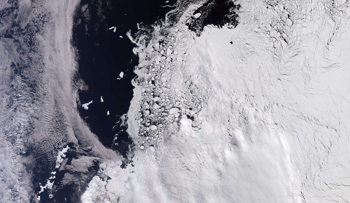
Today’s Sentinel-3 satellites carry instruments for ocean and land colour, surface temperature and surface height on the same spacecraft. In the next generation those jobs will be split. The topography spacecraft will carry the radar altimeters, while a separate optical mission is planned for colour and temperature. The Antarctic cover image shows the kind of scene the current optical instruments can capture. A height measurement answers a different question, such as how high floating ice sits above the surrounding water. ESA’s current Sentinel-3 instrument guide
From a line of measurements to a strip of ocean

A radar altimeter sends a pulse toward Earth and measures how long its echo takes to return. Dividing the travel time in half and multiplying by the signal speed gives the distance to the surface. Combining that range with the satellite’s precisely measured orbit gives surface height relative to a common reference. Water vapour changes the signal’s travel time, so a microwave radiometer helps estimate the correction.
The new design retains a downward-looking altimeter to measure along the flight path. It also adds a swath altimeter, which measures over strips of water to the sides. Two separated antennas receive the reflected radar signal at slightly different phases, or points in the wave cycle. With the geometry of the antenna pair known, that difference helps locate the echo across the track and work out the height of the surface that reflected it. The Gulf Stream image from the separate SWOT mission shows what this approach adds. The coloured strips reveal how elevated water extends to either side of the dotted line from the downward-looking radar. JPL’s explanation of the SWOT measurements
That extra coverage is useful because currents and eddies have shapes that a single track may only cut across. The planned mission will also observe rivers, lakes and ice. The expected improvements in coverage and revisit time describe the mission design. How often an individual feature can be measured depends on its location and how the constellation is ultimately deployed. ESA’s mission requirements
How to hand over a decades-long record

Even a small bias between instruments can look like a change in sea level when two records are joined. Engineers can estimate that bias by comparing measurements from the old and new instruments along the same tracks. The planned orbits put those passes about four hours apart. Tides and other ocean motions can change the surface during that interval, making it harder to isolate the instrument difference.
In an August study, Noémie Lalau and colleagues used existing Sentinel-3, Jason-3, Sentinel-6 and SWOT observations to estimate the effect of the four-hour gap. Their analysis put the uncertainty in the regional offset at about 7 millimetres after three months, compared with about 2 millimetres for a nearly simultaneous comparison. Those figures describe the estimated difference between instruments across a region. They are not the accuracy of a single height reading. The authors found that a longer overlap could improve the comparison. The new sensors and the handover still need to be tested in orbit. The peer-reviewed calibration study
Join the conversation