
Rocket Lab delivers Japan’s WADATSUMI-II radar satellite to orbit
The dedicated Electron mission delivered an iQPS spacecraft to low Earth orbit. Its radar-imaging role matters because reflected radio signals can reveal the surface through clouds and after dark.
Rocket Lab has delivered another Japanese radar-imaging satellite to low Earth orbit. Its completed mission record confirms that Electron’s “The Sea God Surveys” flight carried one QPS-SAR spacecraft for iQPS, which identified the payload before launch as QPS-SAR-20, WADATSUMI-II.
A November 2 launch, November 3 in New Zealand
The rocket lifted off from Launch Complex 1 on New Zealand’s Māhia Peninsula at 16:41 UTC on November 2, 2026. Locally, that was 05:41 on November 3 in New Zealand daylight time. The provider lists a 575-kilometre orbit with a 42-degree inclination and says this was its tenth Electron launch for iQPS.
The company’s page now describes the satellite as delivered. That confirms the launch milestone; it does not provide first images or an assessment of the new spacecraft’s imaging performance.
Why send a radar rather than a visible-light camera?
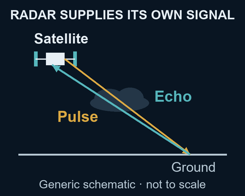
A radar instrument supplies its own microwave signal and measures the energy scattered back from the surface. It can therefore collect observations without sunlight, and its radio wavelengths can pass through cloud that obscures a visible-light view.

The result records radar backscatter, rather than the colours a human eye would see. Surface structure, moisture, viewing angle and wavelength influence the returned signal. That makes radar a complementary way to study changing landscapes, with its own interpretation requirements.
How motion helps a small antenna
Synthetic aperture radar, or SAR, combines echoes collected as the instrument moves. Processing those measurements together simulates a longer antenna, helping distinguish features along the flight direction. The “synthetic” part refers to this processing of real signals.

One practical application is mapping water and vegetation. In the airborne example below, radar measurements were processed into colours that separate open water from different kinds of flooded vegetation. Its 2013 observation date and different instrument are important: it illustrates the technique, rather than showing what WADATSUMI-II has already measured.

The larger coverage plan remains a goal
In its prelaunch announcement, iQPS said it aims to assemble 24 satellites by May 2028 and add more by 2030. Its longer-term service goal is to observe selected regions almost anywhere worldwide at an average interval of ten minutes. That describes a planned observation cadence for a larger constellation.
This launch adds one delivered spacecraft to that effort. The confirmed result is orbital delivery; the network’s future coverage goals should remain separate from the performance of the newly launched satellite.
Join the conversation