
Sentinel-6B passes calibration ahead of sea-level reference handover
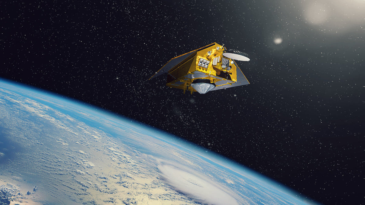
NASA says the satellite will become the reference for other ocean-height missions in January. Keeping successive instruments consistent protects the long-term record.
Sentinel-6B has completed calibration ahead of becoming the reference satellite for other ocean-height missions, NASA announced on November 16. The checks were complete as of October 30; the handover is planned for January 2027. Sentinel-6 Michael Freilich, its older twin, still holds that reference role. NASA's latest mission update
Why a satellite needs a reference

The transition is about making measurements comparable across spacecraft and across years. A small difference between two instruments could otherwise appear to be a change in the ocean. Calibration work helps establish those differences before a new satellite becomes the standard against which others are checked.
The approach has a practical precedent. ESA described the earlier Sentinel-6 Michael Freilich and Jason-3 satellites following the same ground track only 30 seconds apart during validation. Comparing nearly the same patch of ocean close together in time helps separate instrument differences from real changes in the water. An external calibration transponder in Crete supplied another check. That was the earlier pair's validation campaign, rather than a new measurement by Sentinel-6B. ESA's 2021 calibration account
Radar times a journey, not a photograph

An altimeter sends microwave pulses toward the ocean and times their echoes. In an ideal calculation, half the round-trip travel time multiplied by the signal speed gives the range from spacecraft to surface. It does not give sea level by itself: the spacecraft's position must also be known. Combining its orbital height with the measured distance locates the sea surface relative to a common reference.
The atmosphere complicates that calculation. Water vapour changes the travel time, so Sentinel-6's microwave radiometer helps estimate the correction. Precise orbit measurements provide another essential part of the result. NASA's instrument description for the older twin explains why the altimeter, radiometer and positioning systems work together. Treating the radar timing alone as a direct ocean-height reading would leave out those checks. How the Sentinel-6 instruments work
Preserving a record that spans different missions
The long record began with TOPEX/Poseidon, launched in 1992, and continued through the Jason satellites and Sentinel-6 Michael Freilich. Successive missions have repeatedly sampled the ocean along a shared orbit. Their combined observations let researchers examine long-term global change alongside regional differences and shorter natural cycles. NASA's history of the altimetry record
This is why a successful handover involves more than a healthy new spacecraft. Researchers need confidence that a change at the boundary between two missions reflects the sea rather than a different instrument. Consistency connects a new year's observations to measurements made decades earlier.
Useful data were already arriving
Reference status is also different from first science use. NASA reported in September that Sentinel-6B began supplying low-latency data on July 15, 2026. Its measurements can support weather research while the longer calibration process continues. NASA's September mission report
Sea-surface height helps researchers understand ocean heat because warmer water expands. Those patterns can inform estimates of the ocean energy available to a hurricane. They are inputs to forecasting methods, rather than a stand-alone prediction of a storm's path or strength. NASA's September report described work to incorporate the new height data into NOAA's ocean heat-content system; it did not establish that every planned model update was already complete.
What changes next
The latest update says Michael Freilich currently flies 30 seconds ahead of Sentinel-6B. NASA plans to move the older spacecraft into an accompanying orbit, allowing the pair to provide finer spatial sampling together. It gives no date for that manoeuvre. The January reference handover remains a planned step, distinct from the calibration work already completed.
The November update supplies a newer timetable than September's expectation of a handover later in 2026. It does not explain the timing change or publish a new numerical accuracy result. The verified milestone is readiness for the reference role, with the actual transition still to come.
Join the conversation